The Ministry of Economic Affairs and Digital Transformation selects Rover’s AICEDRONE project: AI loaded on drones to recreate large infrastructure projects in 3D
19.10.2022. The Spanish Government’s Ministry of Economic Affairs and Digital Transformation has selected Rover’s AICEDRONE project for funding under the 2021 aid program for research and development projects in artificial intelligence (AI) and other digital technologies and their integration into value chains C005/21-ED, through European funds NextGenerationEU of the Recovery, Transformation and Resilience Plan.
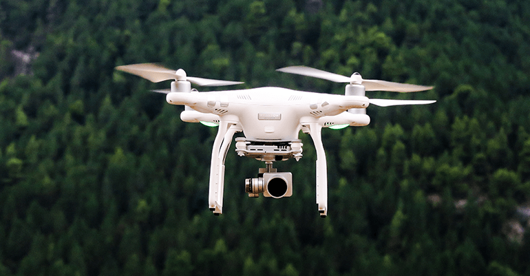
The AICEDRONE project is conceived as a system to automate and improve construction process work in civil engineering, developing computer tools that will integrate the latest advances in AI, drones with embedded sensors (robotics) and high-performance computing, including laser measurement and computer vision technologies.
The main objective of AICEDRONE is to develop a computer tool for obtaining digital 3D geolocated models, from different parts of a construction site and throughout all its phases. This will make it possible to monitor its evolution over time, as well as quantify the final deviations from what was achieved with respect to the original project. This is the automation of basic 3D geometry reconstruction of elements of interest in civil works. This will use AI techniques, combined with geometric constraints imposed by the photogrammetric model and computational vision techniques, from images and 3D point clouds captured using the latest technology in drones and onboard sensors.
Artificial Intelligence is increasingly being applied in fields, particularly the identification of elements using image processing algorithms, with very recent applications on three-dimensional point clouds. Thus, this project addresses the challenge of combining AI techniques on different digital 3D models and the incorporation of error detection algorithms. In turn, technologically, it proposes combining the techniques of point cloud detection resulting from photogrammetric processes based on high-resolution images, with information received with laser sensors, both technologies incorporated into drones.