Aicedrone Road
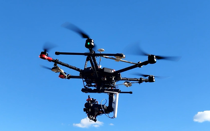
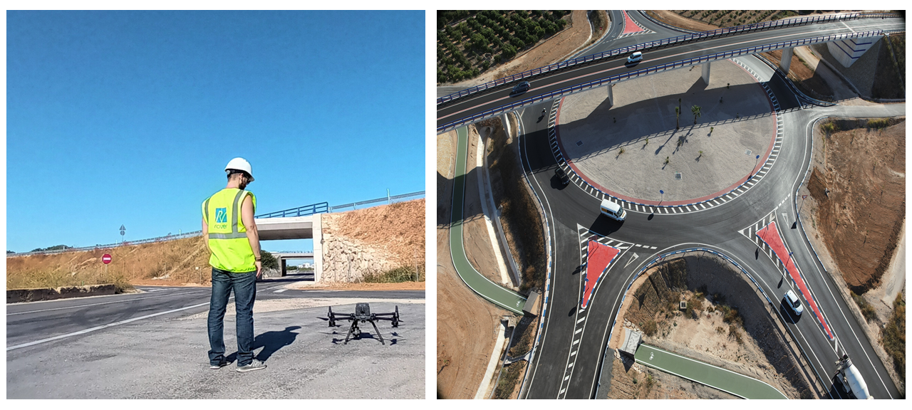
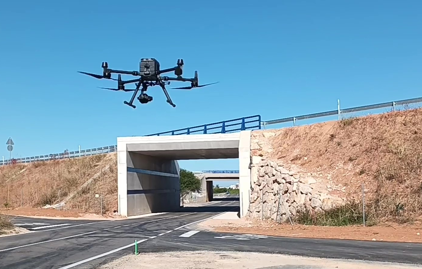
The AICEDRONE system is an AI-based tool that automates and improves civil engineering work by combining image recognition algorithms, drone-mounted sensors, and high-performance computing.
The project has developed a software tool capable of detecting and digitally modeling the various construction units and elements in 3D. This allows for the georeferencing of the various construction sections for monitoring and control throughout all phases of execution.
To achieve this, artificial intelligence techniques have been combined with the geomatics constraints of photogrammetric models and drone-based computer vision technology, utilizing the latest photogrammetric camera and LiDAR sensor technology.