MasterView
MASTERVIEW is a software solution that allows users to access information from drone flight data collected at the construction site; it is hosted in the cloud and shared across the entire team. This provides both clients and company managers with near-real-time access to the status of the construction site without having to travel there.
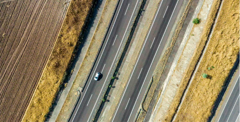
Rover Infraestructuras has developed an innovative tool with two main applications: first, it facilitates the study of new alignments for linear construction projects, especially when no previously passable route exists; and second, it enables the monitoring of activity on long-span linear construction projects, all through the integration of data and images captured from drone flights along the route. The tool allows users to view geolocated real-world images of the project’s status and generate reports or technical notes directly on top of them. To achieve this, the necessary specifications for drone data collection were defined, ensuring that the images met the precise quality and characteristics required for subsequent import and analysis.
In addition, the interface and application functionalities were designed and subsequently developed as cloud-based algorithms, enabling multi-user and cross-platform use from any location.